Lidar Surveys
Using the latest DJI Zenmuse L3 LiDAR technology, we capture highly accurate terrain and site data, even through vegetation. Ideal for topographical surveys, earthworks, infrastructure projects, golf courses and large-scale land mapping.
Vertex Geospatial Surveys
Power Your Project with LiDAR
High-precision terrain data using advanced LiDAR technology
Geospatial Surveys delivers next-generation LiDAR surveying solutions for clients who need accurate, detailed and reliable spatial data. Using the latest DJI Zenmuse L3 LiDAR system, we capture high-density point clouds and terrain information with exceptional precision — even in complex environments with dense vegetation or limited ground visibility.
Our LiDAR surveys are ideal for topographical mapping, engineering design, earthworks analysis, infrastructure planning, golf course development and large-scale land modelling.
By combining aerial LiDAR capture with expert processing, we provide survey-grade datasets that support confident decision-making at every stage of a project.

What is a LiDAR Survey?
A LiDAR (Light Detection and Ranging) survey uses laser scanning technology to measure the Earth’s surface with extreme accuracy. Unlike traditional surveying methods, LiDAR can capture detailed terrain data quickly and efficiently, even through vegetation and hard-to-access areas.
The result is a highly detailed 3D representation of the land surface, known as a point cloud, which can be processed into usable mapping outputs such as:
» Digital Terrain Models (DTM)
» Digital Surface Models (DSM)
» Contour mapping equipment needed
» 3D surface visualisations
» Volumetric calculations
This makes LiDAR one of the most powerful tools for modern geospatial analysis and land development planning.
Vertex Geospatial Surveys
Get a LiDAR Quote
DJI Zenmuse L3 LiDAR Technology
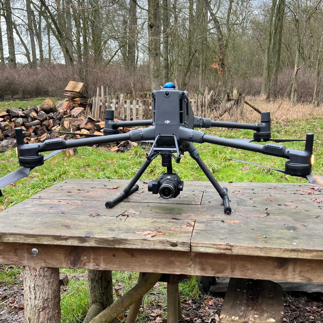
We use the DJI Zenmuse L3 LiDAR system, one of the most advanced aerial mapping sensors available today.
This technology allows us to:
- Capture highly accurate elevation data
- Penetrate vegetation for true ground modelling
- Rapidly survey large or complex sites
- Produce dense, survey-grade point clouds
- Reduce time spent on-site compared to traditional methods
By combining LiDAR with UAV drone platforms, we can access areas that would otherwise be difficult, unsafe or time-consuming to survey manually.
LiDAR Surveys
While LiDAR is a cutting-edge technology, it is also a direct evolution of traditional topographical surveying.
Our LiDAR-based topographical surveys provide:
- Accurate ground levels and elevation data
- Contour generation for design and planning
- Earthworks and cut/fill analysis
- Site modelling for engineering and construction
- Reliable baseline data for architectural and infrastructure projects
This approach significantly improves speed, efficiency and data richness compared to conventional surveying methods.
Vertex Geospatial Surveys
Request Mapping Quote
Applications
Our LiDAR surveying services are used across a wide range of industries, including:
» Civil engineering and infrastructure development
» Construction and earthworks planning
» Golf course design and landscaping
» Architecture and masterplanning
» Utilities and asset management
» Environmental and flood risk analysis
» Large-scale land development projects
Whether you are planning a new build or managing existing infrastructure, LiDAR provides the clarity needed to move forward with confidence.

Deliverables
Every LiDAR survey project is processed into accurate, usable datasets tailored to your requirements. Outputs may include:
High-resolution point clouds
High-resolution point clouds
2D CAD drawings (DWG / DXF)
Contour maps and elevation models
3D surface models
Volumetric calculations and analysis reports
Vertex Geospatial Surveys