
Photogrammetry
Using the DJI Zenmuse P1 full-frame mapping camera, we capture high-resolution aerial imagery to produce orthomosaics, topographical mapping, point clouds, contours, 3D models and survey-grade digital datasets.
Vertex Geospatial Surveys
Capture Detailed Site Data
High-Accuracy Photogrammetry Surveys
Photogrammetry is a proven surveying methodology that uses high-resolution aerial imagery to create accurate spatial datasets, detailed mapping products and realistic 3D digital models.
Using the DJI Zenmuse P1 full-frame mapping camera, Vertex Geospatial captures survey-grade data quickly and efficiently across sites of all sizes. Thousands of overlapping images are processed using specialist photogrammetry software to generate highly accurate representations of terrain, buildings, infrastructure and land assets.
Our photogrammetry surveys provide a cost-effective alternative to traditional survey methods whilst delivering comprehensive site information for planning, design, construction and asset management.
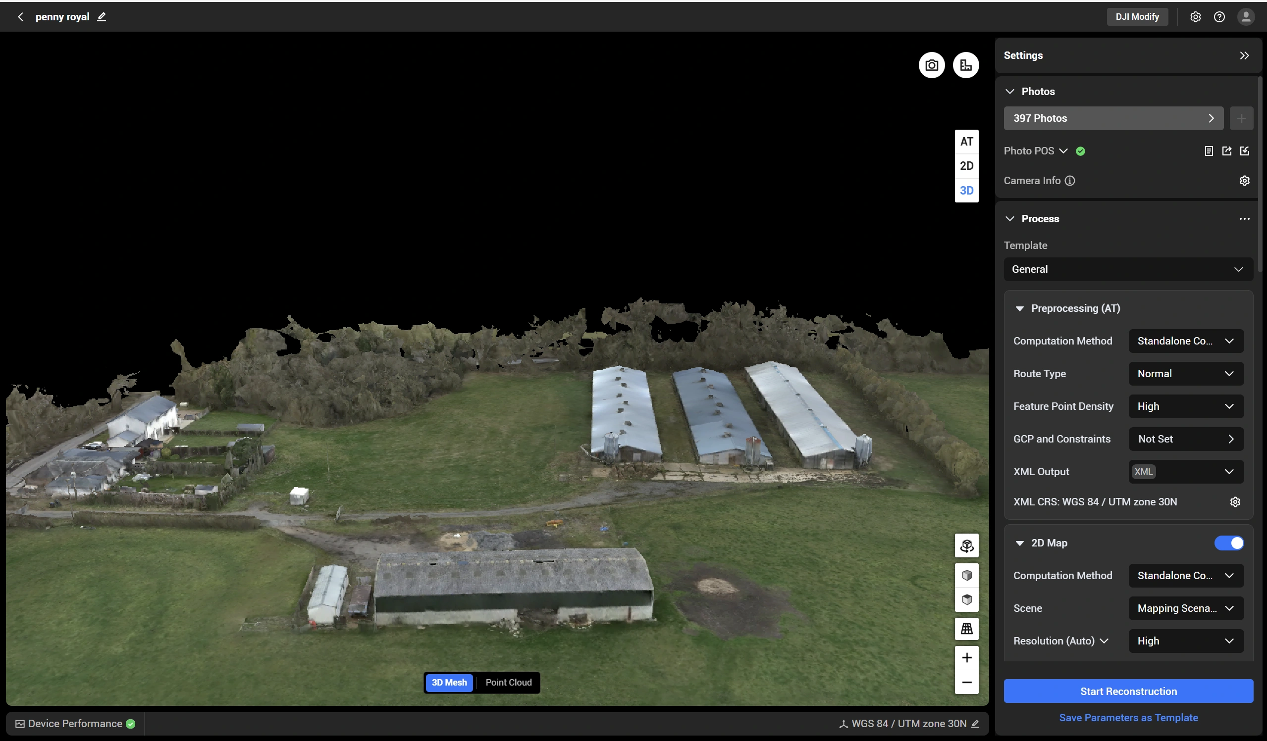
Detailed Site Analysis & Asset Inspection
Beyond traditional mapping, photogrammetry provides detailed visual records of sites, structures and assets that can be viewed, measured and analysed remotely.
From construction projects and golf courses to commercial properties and infrastructure, our surveys allow stakeholders to inspect and assess sites without repeated visits or expensive access equipment.
The resulting datasets can be used for progress monitoring, condition assessments, volumetric calculations, design development and long-term asset management.
Key Benefits
» Rapid data capture
» Survey-grade accuracy
» Large area coverage
» Reduced site disruption
» Safe access to difficult locations
» Accurate measurements and volume calculations
» CAD and GIS compatible outputs
» Interactive 3D visualisation
Vertex Geospatial Surveys
Professional Aerial Imaging and Inspections
Benefits of Photogrammetry
» Survey-grade accuracy – Produce reliable spatial datasets suitable for engineering, planning and design workflows.
» Large area coverage – Survey extensive sites in a fraction of the time required by traditional methods.
»Minimal site disruption – Non-intrusive data capture with reduced need for on-site personnel.
»Hard-to-access environments – Safely map complex terrain, infrastructure and restricted areas.
» Accurate measurements & modelling – Generate precise distances, elevations, volumes and 3D surface data.
» CAD & GIS ready outputs – Seamless integration into design, engineering and geospatial platforms.
» Advanced visualisation tools – Create interactive 3D models and digital twins for analysis and presentation.
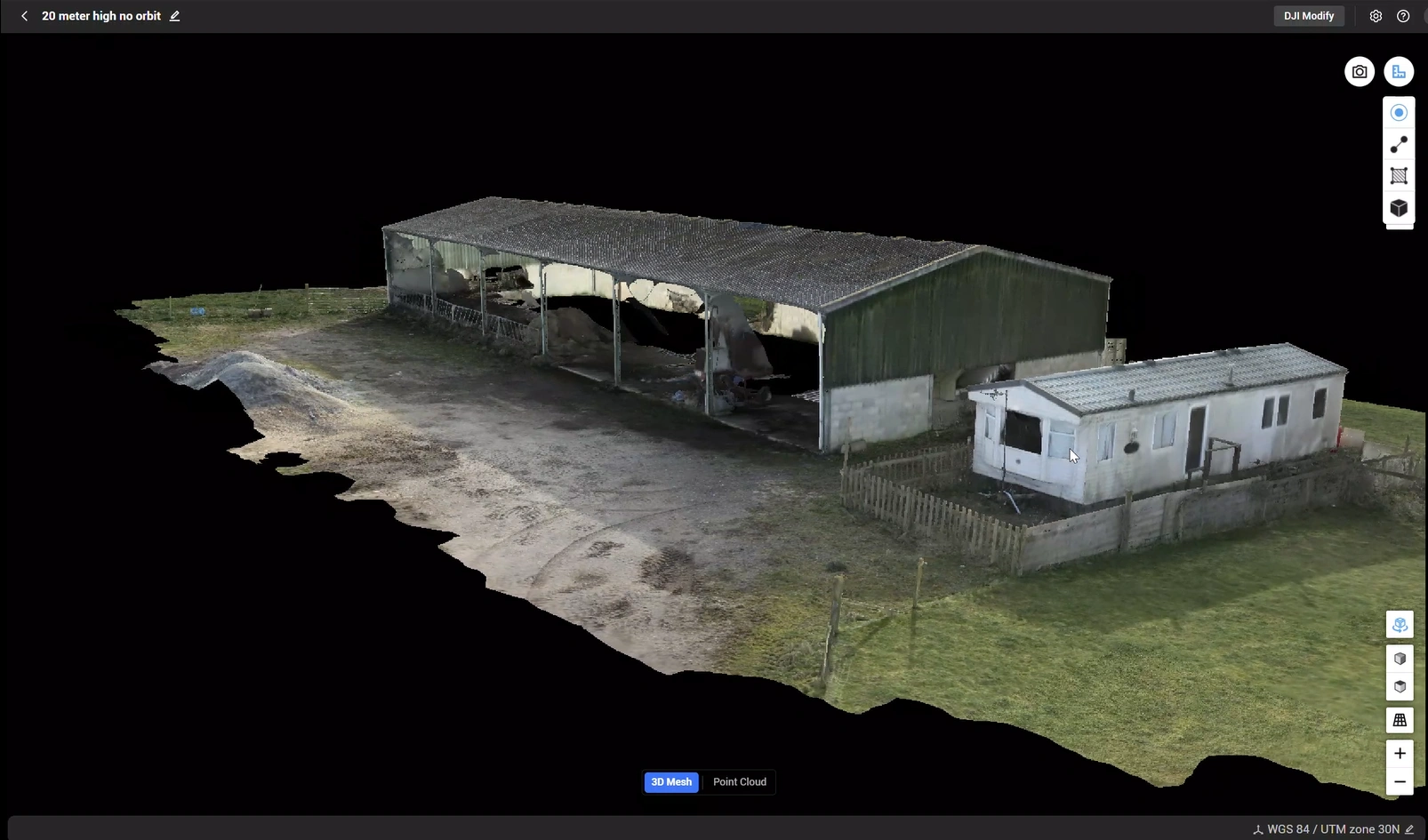
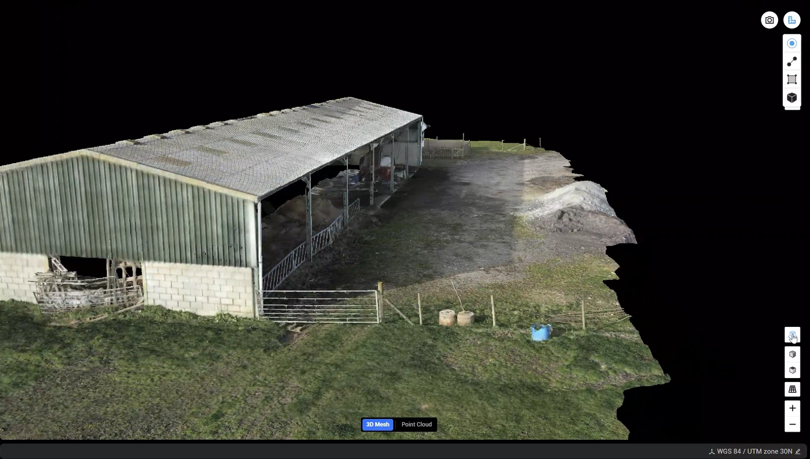
Deliverables
Every photogrammetry survey project is processed into accurate, usable datasets tailored to your requirements. Typical deliverables include:
» Orthomosaic Maps
» Topographical Survey Data
» Digital Surface Models (DSM)
» Digital Terrain Models (DTM)
» Point Clouds
» Contour Mapping
» 3D Mesh Models
» Digital Twins
» CAD-Compatible Outputs
» Gaussian Splat Models
Vertex Geospatial Surveys